Hard to cover
Coverage Gap
Remote waters and sudden pollution sites stay uncovered in real time.
Laboratory capability on a special vehicle, with UAV air cover, as one intelligent hub for sampling, monitoring, analysis, and decisions. High-accuracy multi-parameter sensors, a vehicle spectral screener, and a control terminal cover surface water, groundwater, outfalls, and emergency sites — measure on arrival, results in minutes.
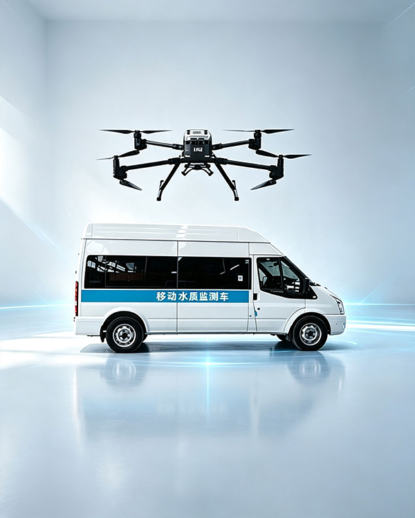
Fixed stations and manual sampling leave four gaps: coverage, source tracing, emergency response, and speed. A laboratory on wheels, with a UAV in the air, is built to close them.
Remote waters and sudden pollution sites stay uncovered in real time.
Plume path is unclear; source location lags.
Incident response is slow; the golden window is missed.
Manual sampling and lab tests take days; data lags badly.
Vehicle plus UAV: take high-accuracy sensing and fast-test modules to the site. In-situ live data, many parameters on one vehicle, precise source tracing in incidents, with a professional workstation and software.
Using vehicle mobility and UAV flight, Arrive fast and sample any point, beyond geography, fewer blind spots.
Carries high-accuracy multi-parameter sensors and rapid analyzers, Live pH, DO, turbidity, conductivity, temperature, and more, without a long lab wait.
Integrates spectral, rapid colorimetric/electrode, and algae modules, COD, ammonia, TP, heavy metals, and more on one vehicle.
Rapidly in sudden pollutionLock the area, identify tracers, follow the source, giving key evidence for emergency action.
Onboard workstation and software handle dataCollect, process, store, upload, and report, with GIS location.
UAV aerial sampling and patrol, Air-ground joint work, reaching waters and sites that are hard to access.
From field sensors to vehicle spectroscopy, from colorimetric/electrode methods to algae analysis — browse parameters by module. Items can be added or dropped for the water body and mission.
Vehicle sensors and the spectral screener produce in-situ readings on a touch screen. The onboard workstation collects, processes, and stores data, marks GIS points, builds reports, and uploads to the platform.
Onboard ammonia and total-phosphorus analyzers meet national-method requirements. Switch tabs for range, error, and drift; parameters follow the mission.
Emergency monitoring from rivers, lakes, and reservoirs to sewage and industrial wastewater — data follows the vehicle. Know the water quality in time and move the site as needed.
Tell us the water body, parameters, and duty profile. We will return a vehicle-fit and module list — items can be adjusted.